Search
Search
Search
EU SCIENCE HUB
Menu
Tropical Forest Monitoring
Home
IFORCE
IMPACT Toolbox - Sample images
IMPACT Toolbox - Sample images
IFORCE
Homepage
Tropical Moist Forests (TMF)
Global forest cover 2020
Global map of forest types 2020
Methodologies & tools
Forest Canopy Disturbance - ΔrNBR(GEE Tool)
Carbon Emission Calculations (in IMPACT Toolbox)
CarbEF
ForestER
Software
IMPACT Toolbox
Other software
Sentinel imagery & composites
Sentinel2 web platforms
Sentinel2 cloud-free composite
Sentinel1 composite
OTHER PROJECTS
REDDCopernicus
ReCaREDD
ROADLESS FOREST
TREES-3
Data Download
OTHER PRODUCTS
Historical forest cover / land cover maps
GLC2000 land cover maps
Global Accessibility Map
Geographical Boundaries of Amazonia by Eva et al. (2005)
General purpose very small Landsat images over Brazil
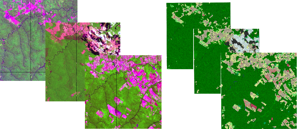
Processed Landsat imagery from 1990-2000-2014, classification, segmentation, forest change map
Full Landsat and Sentinel2 raw and processed imagery: Lake Nakuro, Kenya
Raw archive
Raw Landsat5 archive (tar.gz) - LT05_L1TP_169060_19950206_20170110_01_T1
Raw Sentinel2 archive (.zip) - L1C_T36MZE_A031163_20210610T075213
Pre-processed, full extent, 6 bands GeoTiff images
Raw Landsat5 archive (tar.gz) - LT05_L1TP_169060_19950206_20170110_01_T1
Raw Sentine2 archive (.zip) - L1C_T36MZE_A031163_20210610T075213
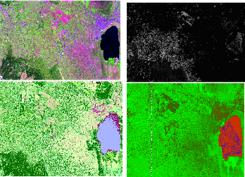
Nakuru subsets, pre-processed, classifications, NDVI, NBR ...
Small archive containing test images and classifications
Multi-date segmentation (shapefile) and pre-classification